Back to Catalog
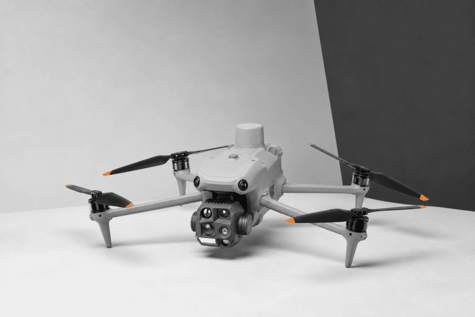
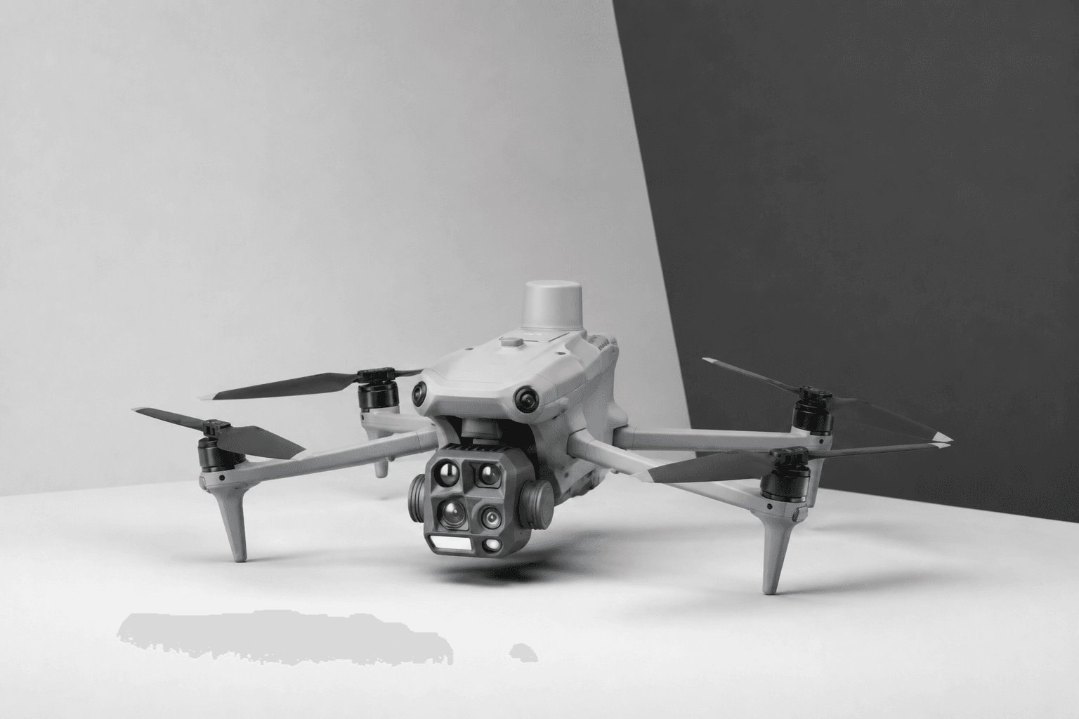
Matrice 4E — DJI Enterprise
DJI Enterprise
Aerial
Survey & Construction

49 min · 4/3" CMOS · RTK 1 cm

Matrice 4E

Geospatial Matrice 4E for survey, mapping, and construction. Mechanical shutter, RTK 1 cm + 1 ppm horizontal, 35 km flight distance.

Max Flight Time
49 minutes
Wide Sensor
4/3" CMOS 20 MP
RTK Horizontal
1 cm + 1 ppm
Flight Distance
35 km
Tele Lenses
70 mm + 168 mm
  • Volume B2B pricing — fleet quotes available
  • Commercial enterprise channel documentation
  • City of Industry, CA inventory · US-based pre-sales

Recommended Add-ons

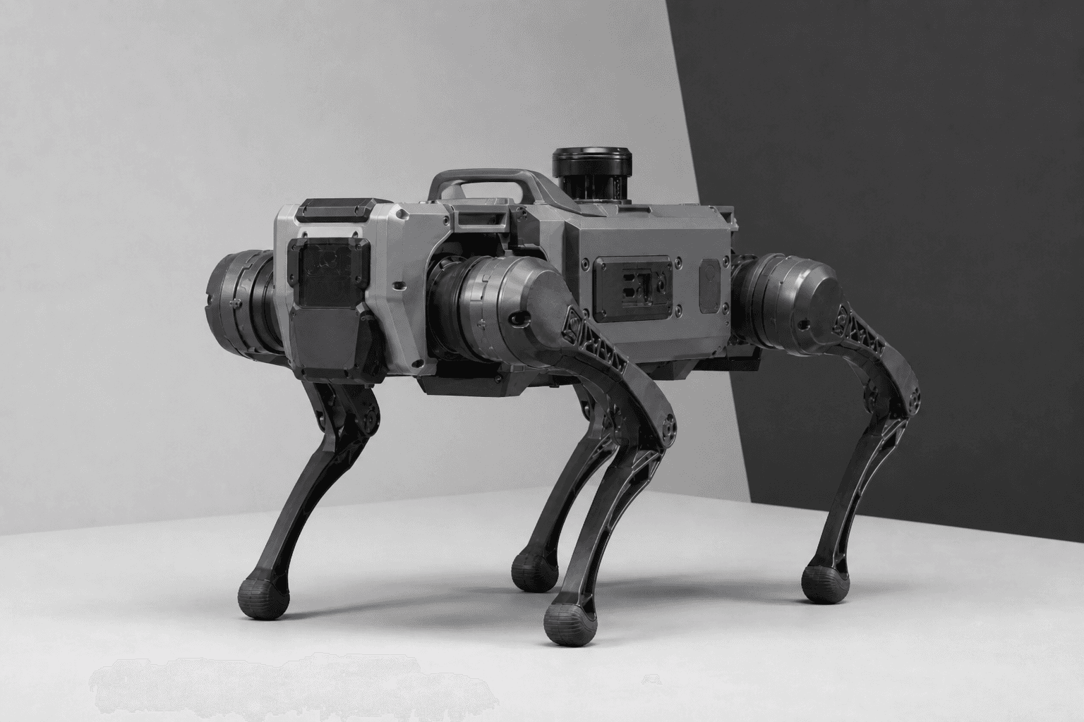
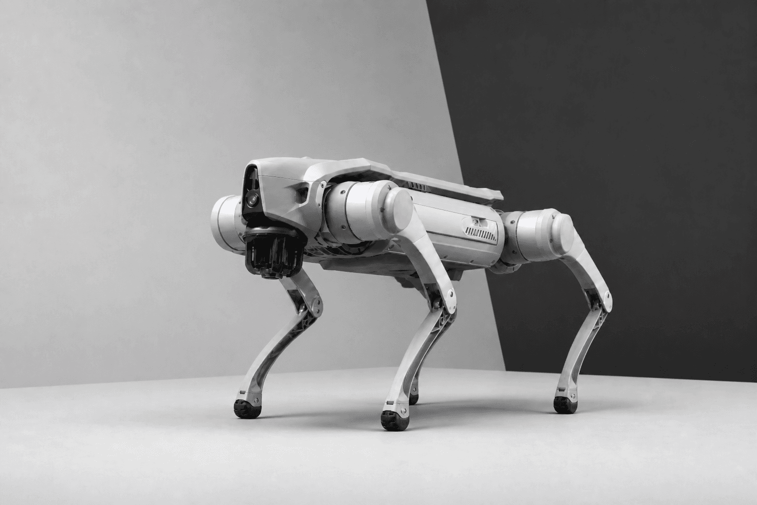
Pair Matrice 4E with CZI Capability payloads and Unitree Ground units — the margin stack for Matrice deployments.